Saturday (July 7)
Read this on the Inyo web site (http://www.fs.fed.us/r5/inyo/conditions/). US 395 is where I will be driving. I drive through Independence and Big Pine.
Summary
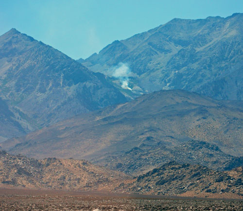
A thunder and lightning storm moved quickly through the Eastern Sierra Friday afternoon, July 6, 2007, igniting approximately 10 fires being managed as the Inyo Complex. As of Sunday morning, the three biggest fires still actively burning are: 1) The Oak Fire burning west and north of Independence, on both sides of US 395 2) The Seven Fire burning west and north of Independence 3) The Sage Fire burning in Big Pine Canyon. The Oak and Seven Fire have merged into one fire known as the Seven Oaks Fire. Both the Sage and Seven Oaksfires burned aggressively all day on Saturday.
Evacuations: The following areas have been evacuated – Baker Creek Campground, Big Pine Canyon including all campgrounds, Glacier Lodge, Bernasconi Center, North Fork of Oak Creek Canyon including Oak Creek Campground, Upper and Lower Grey’s Meadow Campground, Onion Valley Campground, Seven Pines, Independence Creek Campground,
Black Rock and Mt. Whitney Fish Hatcheries.
The residents that had been evacuated from Independence were allowed back to their homes at 9:00 pm Saturday evening and the evacuation center in Lone Pine Stathem Hall was shut down.
US 395 is open at this time, but is subject to closure if necessary for fire or smoke.
The roads up Big Pine Canyon, the North Fork of Oak Creek Canyon, and Onion Valley Road remain closed to the public.
When conditions are safe people will be escorted up Big Pine Canyon to retrieve their belongings.
No wilderness permits for the John Muir Wilderness are being issued for the trailheads between Baker Creek and Georges Creek, until at least July 12.
The Sage Fire has now burned 6,597 acres and the Seven Oaks Firehas burned 27,522 acres.
Monday (July 9)
I’ve got a hiking companion! Adrian has decided to meet me in Reno and drive down on Friday with me to do the hike. (I was going to be hiking with his girlfriend, Sangeeta, but a family emergency meant that should couldn’t come.)
Fire update
As of 4:30 a.m. on Sunday three fires remain actively burning with significant acreage involved.
Percent Contained: 55%
Full Containment Expected: July 11, 2007
Tuesday (July 10)
Everyone seems to be worried about bears. Adrian called up and wanted to know when I’m starting hiking. If it was before the sun was up, he said we needed to walk together to look out for bears.
Then Lisa (my manager) was talking about bears – don’t wear a shirt that has been near a campfire and smells like food.
Yes, they will eat your food, and break into your car to get anything they think you have, but they very very rarely attack people. (My thinking is that there will be 100 other people on the path at approximately the same time. Really not worried about bears – just crowds. )
More planning
Weather report: Sunday is expected to be 98 degrees. More incentive to start before sunrise.
According to the weather site, Lone Pine sunrise is at 5:42 AM; sunset is at 8:13 PM= 14 ½ hours of sunlight. Since I’m estimating a 15 hour hike, I think I’ll aim to begin my walk at 5 AM.
Based on the Enchantments hike, the time to go down (6 hours) was 85% of the time to go up (7 hours). So by that logic, I should take 8 hours up, and 7 hours down. If I assume part of the hike’s slowness down was the giant boulders and I use the more conventional 75%, I can aim for 8.5 hours up, 6.5 hours down.
Fire update
As of 2:30 p.m. on Tuesday afternoon, three fires remain actively burning with significant acreage involved. The fires are now approximately 80% contained with full containment expected July 11th.
Highway 395 is closed from the south junction of State Route 158 to the North junction of State Route 158. Motorists are being diverted through the June Lake Loop.
Thursday (July 12)
News on the radio when I woke up said Inyo fire had be completely contained – yay! I drove to Reno – left at 6:30 AM, arrived 8:30 AM. Went to sleep.
Friday (July 13)
Picked up Adrian at the airport and we drove south to Lone Pine. We did see signs of fire near Bishop.
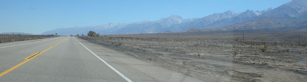
As we drove past Bishop, we saw a few columns of smoke in the hills. A short time later, at least four fire engines and police cars passed us racing towards it.
Stopped at the ranger station and got our official permit – a green tag to attach to our packs. Drove up (and up) to the Whitney Portal Campground. (Lone Pine is at 3,733 feet. The campground is at 8,000′ — we were staying there to help get acclimated.)
Got to our camp. Grabbed our cameras and got out to look for bears. Didn’t find any, so we set up our tents, and moved everything into the bear locker.
Saturday (July 14)
Okay, this was a day we were totally unprepared for. My plan was to do a short hike to get used to the altitude. This morning I realized I had no idea where to go. So we drove back to the ranger station, throwing in our hiking boots at the last minute. But no food or pack.
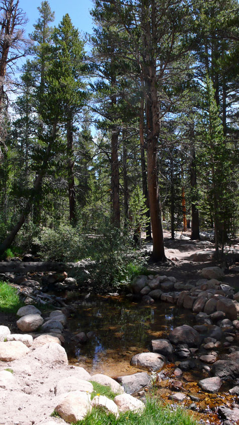
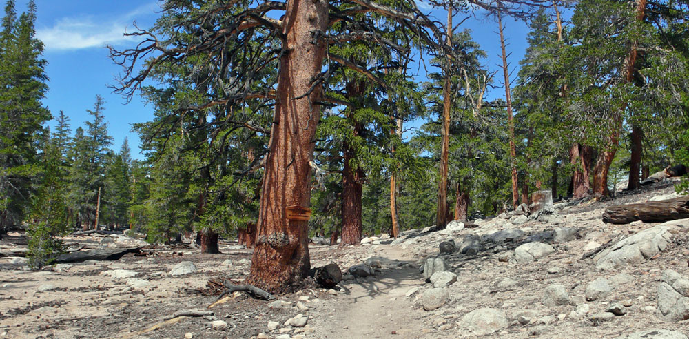
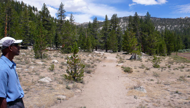
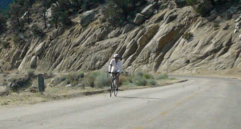
The ranger recommended a hike at 10,000 feet called Horseshoe Meadow – it was flat then went up to a couple of lakes. We went to the grocery store to buy some food, and to a mountaineering store to buy a fanny pack, and headed up.
We paused to cheer, she smiled, and we continued down.
It was 100 degrees in Lone Pine, and 80 degrees at Horseshoe Meadow (Adrian liked that road for biking also). We walked in a mile or two, ate our lunch of Fritos, bananas, and sushi, and hiked out, since we were out of water, had no emergency supplies of any kind, and had to get to bed early.