Hike #7 – Lower Enchantment Lake (Lake Viviane)
For the final training hike, I decided to hike to the Lower Enchantment Lake, Lake Viviane, in Eastern Washington. Mom, Dad, Rachel, and Jeff did a backpacking trip into the Lower and Upper Enchantment Lakes a year or two ago and had a wonderful time, so I was glad I was able to go there also.
To get from Icicle Creek road to the Lower Enchantment lakes was 10 miles, and, according to the book, 5,400 feet – perfect! (Of course, the book didn’t take into account the ups and downs in the trail. My altimeter tracks them a little too well.)
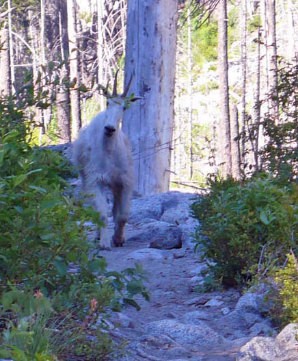
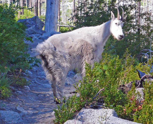
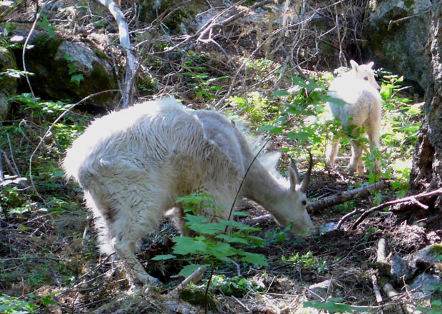
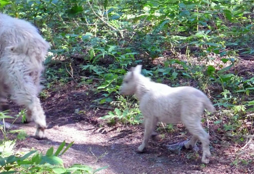
Saw a mountain goat on the trail – I guess they used to be elusive, just barely glimpsed walking on the edge of cliffs. This one posed for a couple of shots, then reluctantly left the trail as I walked towards it.
The very coolest thing I saw that day I didn’t get a picture of. I had paused for a minute, and glanced up to see a mink staring right at me! Beautiful red-brown fur and a wide face, shaped like a very large ferret. He watched as I slowly pulled out my camera and turned it on, then ran away. So all I got was some blurred bushes.
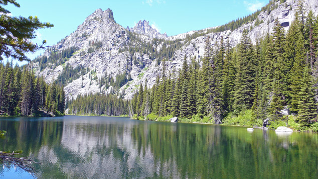
5 ½ miles in – Nada Lake. Paused to take a couple of pictures and continued on.
And up
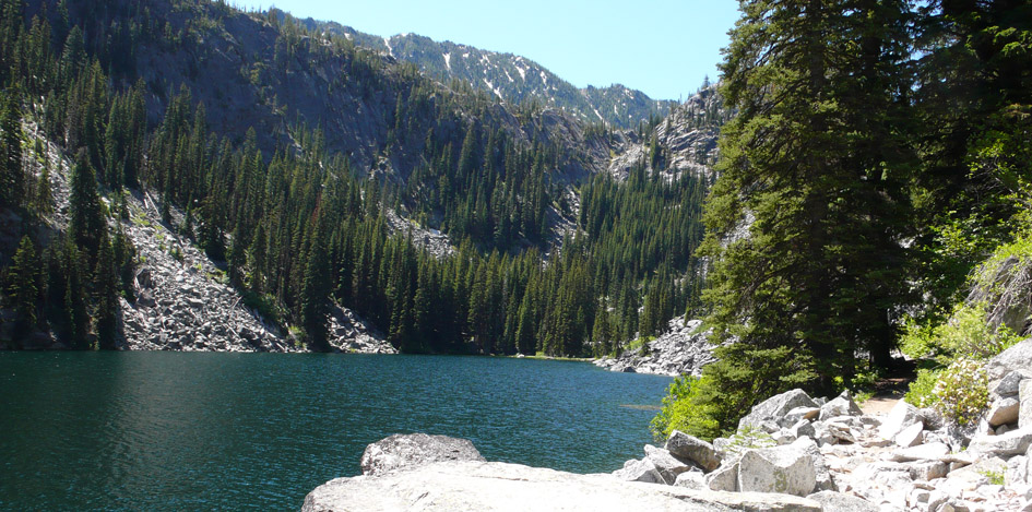
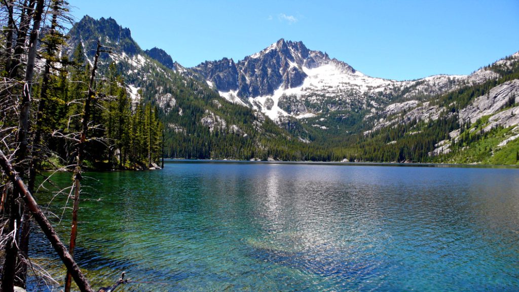
6 ¾ miles in, about 4,200’ up – Snow Lakes. I stopped for lunch. So far, the hike had been pretty easy and I was pretty pleased with myself.
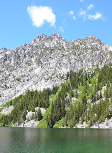
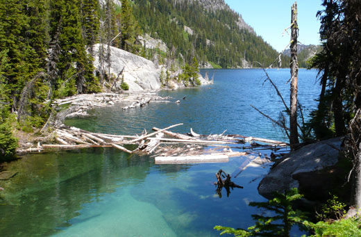
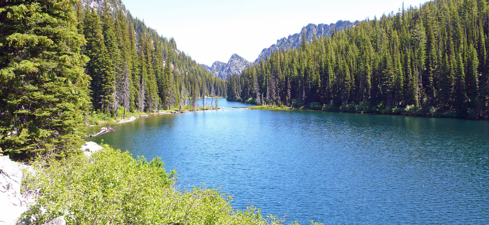
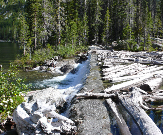
After lunch, I crossed a dam and wound around the side of Upper Snow Lake.
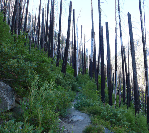
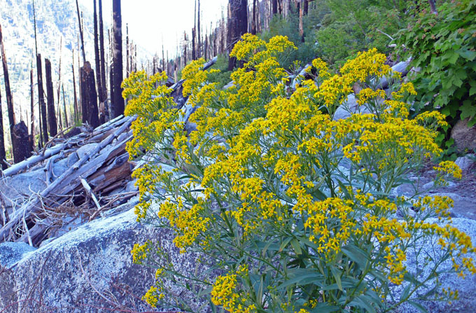
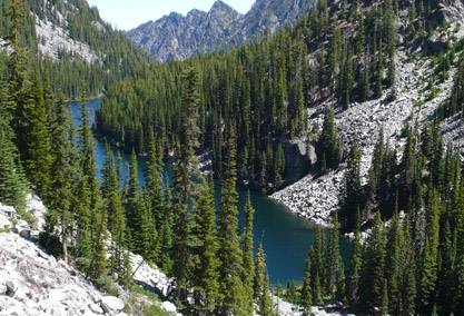
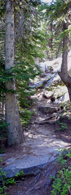
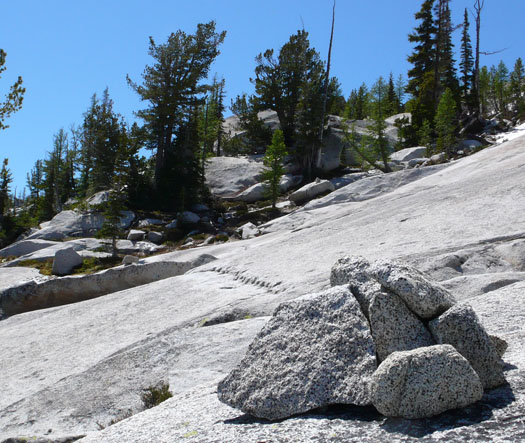
Then, the trail got tough. It followed the creek up to the Lower Enchantment Lakes. Sometimes the trail went steeply up, but sometimes it would go over huge boulders, and I would have to scramble up, going from cairn to cairn.
I had set myself a 3 PM turn around time, and as it got closer and closer I got more worried – to get within a quarter mile or less of the lake and not make it would be discouraging. However, at 2:55, I saw this sign. I nearly cried.
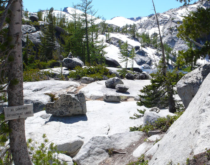
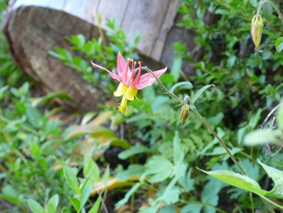
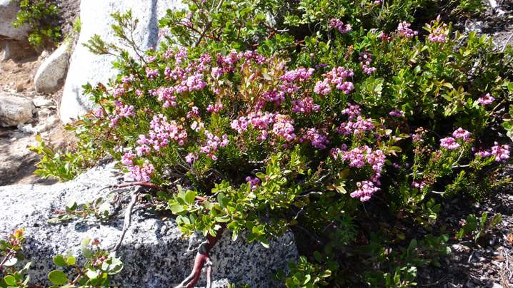
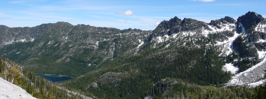
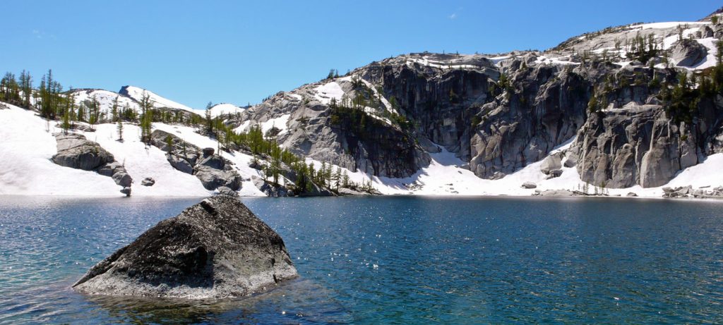
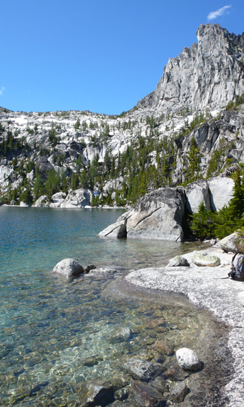
I sat at the shore of the lake and ate a snack and took some pictures. There were several other lakes nearby, but this was as far as I got.
I turned around and started down. The granite rocks were just as difficult going down as going up. I hurried down the rest of the trail.
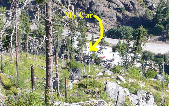
I made it to the car at 8:45. 20 miles, 6,000 feet (according to my altimeter) in 13 hours (7 hours going up, 6 hours coming down). I was very tired and sore, but I am as ready for Mt. Whitney as I ever will be. I just need to recover, and maintain my conditioning for two weeks.